Questions? Let's Talk: 877.762.4375
Questions? Let's Talk: 877.762.4375
No matter how long you’ve lived in the great state of Colorado, chances are you still haven’t uncovered every last secret to be discovered in the Centennial State. To provide a little inspiration for your adventures and explorations, we’ve compiled a list of the 10 best-kept secrets in Colorado. From beautiful drives to historic haunts, this list is bound to keep you busy exploring all that Colorado has to offer.
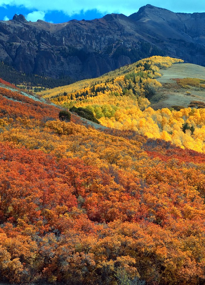
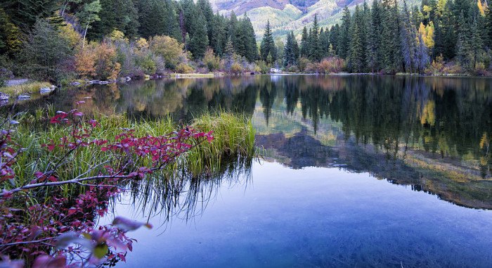
Located between Telluride and Ridgway, Last Dollar Road is quite possibly the most beautiful route in the country with its windy roads, stunning views and spectacular colors. Last Dollar Road is an unpaved, scenic alternate route to get from Ridgway, CO to Telluride, CO, the road travels about 18 miles total. Don’t forget your camera as you wind through gorgeous aspen forests with unobstructed views of Sneffels Mountain Range and Wilson Peak. High clearance vehicles are recommended.
To access the turnoff: travel 12 miles west from Ridgway to Telluride on Highway 145, you’ll see a turn-off on your left saying “Last Dollar Road.” After 5 miles on the gravel road, you’ll turn left and remain on Last Dollar Rd and Road 58P (right will take you to the small neighboring town of Sawpit, CO). • https://www.telluride.com/
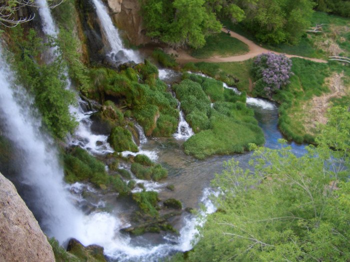
Did you know that Colorado is home to dozens of waterfalls? If you’re on the hunt for that perfect fall, look no further than picturesque Rifle Falls State Park and its triple 70-foot waterfall.
Rifle Falls State Park’s lush vegetation and waterfalls have attracted photographers and movie crews from around the country who come to capture the area’s unique scenery. The lush area of trees and greenery is kept moist by the spray of the cascading triple waterfall. Picnicking near the falls is very popular. Mysterious limestone caves beneath the falls entice spelunkers and other curious visitors to explore their dark depth
Rifle Falls State Park has 13 drive-in and 7 walk-in campsites that sit to the south along East Rifle Creek. It is a VERY busy place during the summer months! Many people want to see the beauty that the park has to offer, however, parking is very limited.
• 5775 Highway 325, 10379 CO-325, Rifle, CO 81650 • https://cpw.state.co.us/
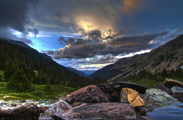
Why fight the crowds at popular tourist hot springs when you can melt all your stress away in Conundrum Hot Springs, a warm pool of perfection? Conundrum Hot Springs, at 11,200 feet in elevation, are a special feature of the 181,976-Acre Maroon Bells-Snowmass Wilderness. This area carries special legal designation to protect its natural, undeveloped and untrammeled qualities as well as to provide outstanding opportunities for solitude or primitive and unconfined The best time to visit Conundrum Hot Springs is July-September.Permits are only available through Recreation.gov. Ranger stations will not issue permits. • https://tinyurl.com/3f5sc29s
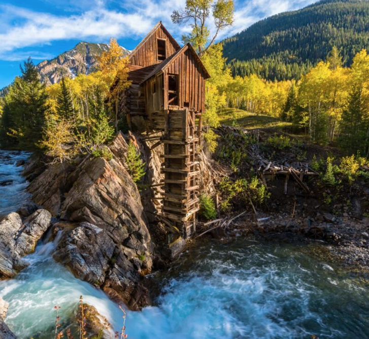
Located just outside the small town of Marble, CO, and about 90-minutes from Aspen, Crystal Mill was never a working mill, it turns out, but rather a powerhouse. Built in 1892, the “Sheep Mountain Power House” contained a turbine that was driven by the powerful waters of the Crystal River below. It powered pneumatic tools and provided air-ventilation to nearby mines. When the Sheep Mountain mine closed up in 1917, the mill was abandoned. 68 years later, Colorado decreed the mill a landmark, and it was placed on the National Register of Historic Places in 1985. Walk, ATV, or bike your way to this historic mill and its incredible surroundings. • 11520 Co Rd 3, Carbondale, CO 81623 • https://www.travelawaits.
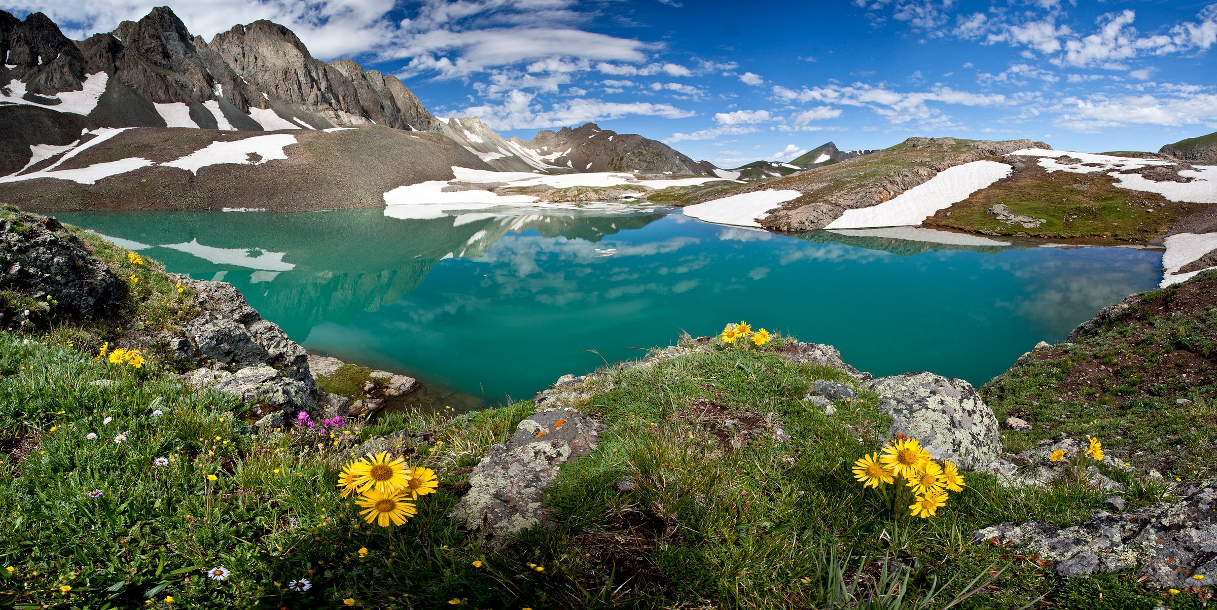
6. Handies Peak Wilderness Study Area (Lake City)
Gleaming self-built castle towers made from beer cans. Cano’s Castle is a set of four gleaming towers, built single-handedly by Donald “Cano” Espinoza, a Native American Vietnam vet. It is a wonder to behold. Cano says his main influences for the Castle are “Vitamin Mary Jane” and Jesus.
Built largely out of beer cans and other metal refuse, for Espinoza the castle serves as a thanks for having his life spared during the Vietnam war. Cano’s castle is actually four separate structures. “The king”, “the queen”, “the palace” and “the rook”. The four story “king” house, covered in gleaming beer cans and hubcaps, is his crowning architectural achievement. Admission is FREE. No phone listed • State Street & E 10th Avenue, 285 E 10th Avenue, Antonito, CO 81120 • https://www.roadsideamerica.com/story/11786
Wheeler Geologic Area really “rocks” with its unique layers of volcanic ash, vast trails, and out-of-this-world scenery. Located just northeast of Creede, the Wheeler Geologic Area is a series of highly-eroded volcanic ash from an explosion nearly 25 millions years ago that spans an impressive 640 acres.
Wheeler Geologic Area is part of the La Garita Wilderness, within this area you will find many trails, some nearby peaks over 13,000 ft and expansive views. Located near the old mining town of Creede, CO, Wheeler is accessible by a 7-mile hike or a grueling 14 mile four wheel drive road. The road is extremely rough with deep ruts. High clearance vehicle or ATV recommended. Your efforts are rewarded by views of a remarkable geologic formation of moderately coarse volcanic tuff eroded into many different shapes. • Creede, CO 81130
• https://www.fs.usda.gov/

8. Paint Mines Interpretive Park (Calhan)
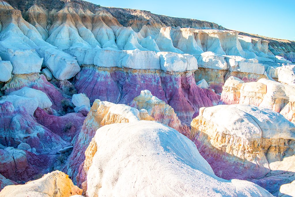
The Park is located in the northeast section of the County near Calhan with approximately 750 acres. The paint mines have evidence of human life as far back as 9,000 years ago. The park features fantastic geological formations including spires and hoodoos that form through erosive action that creates incised gullies and exposed layers of selenite clay and jasper. The park includes a restroom facility, 4 miles of trails, interpretive signage, and many natural wonders.
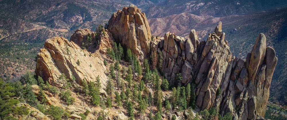
9. Cathedral Spires (Pine Grove)
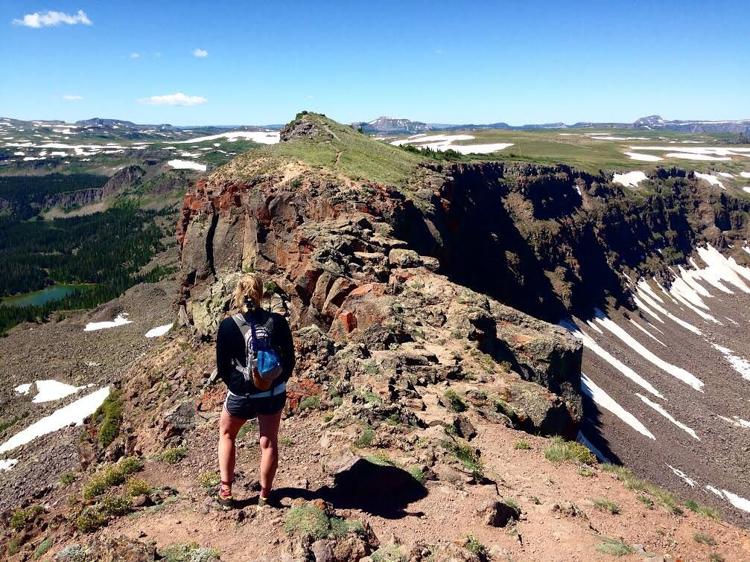
10. Devil’s Causeway (Yampa)
This narrow strip of land in the heart of the Flat Tops Wilderness Area is notorious for causing sheer terror, or awe and thrill, for those who dare to cross it. This “land bridge” is roughly 50-ft in length, and narrows to as little as 3 feet in width. On both sides of the rough and rugged terrain are 60 – 80 ft cliffs, with steep talus slopes dropping another 600 – 800 ft into the drainages below. Devil’s Causeway offers hikers one of the most spectacular views in the Flat Tops Wilderness Area. Encompassing more than 235,000 acres, the Flat Tops are the 2nd largest U.S. Wilderness Area in CO. To reach the trailhead turn westbound onto County Rd 7 off of Highway 131 in the town of Yampa, roughly halfway between Wolcott & Steamboat Springs.
======
Do you have an interesting idea for an article for Jim Crowder’s Newsletter? The topic should be about some aspect of Colorado life: it’s history, people, places to visit, restaurants, parks, museums, etc. Jim loves “Top Ten” lists! Send on email to Jim at jim@crowder.com and let him know. We’ll even give you credit for suggesting the topic if we use it.
Will be happy to respond
